Category
Greenways of the Oscos–Eo district
Six trails through the most remote western corner of Asturias: Atlantic woodland, slate villages and the Eo river valley, of moderate difficulty.
Category
Six trails through the most remote western corner of Asturias: Atlantic woodland, slate villages and the Eo river valley, of moderate difficulty.
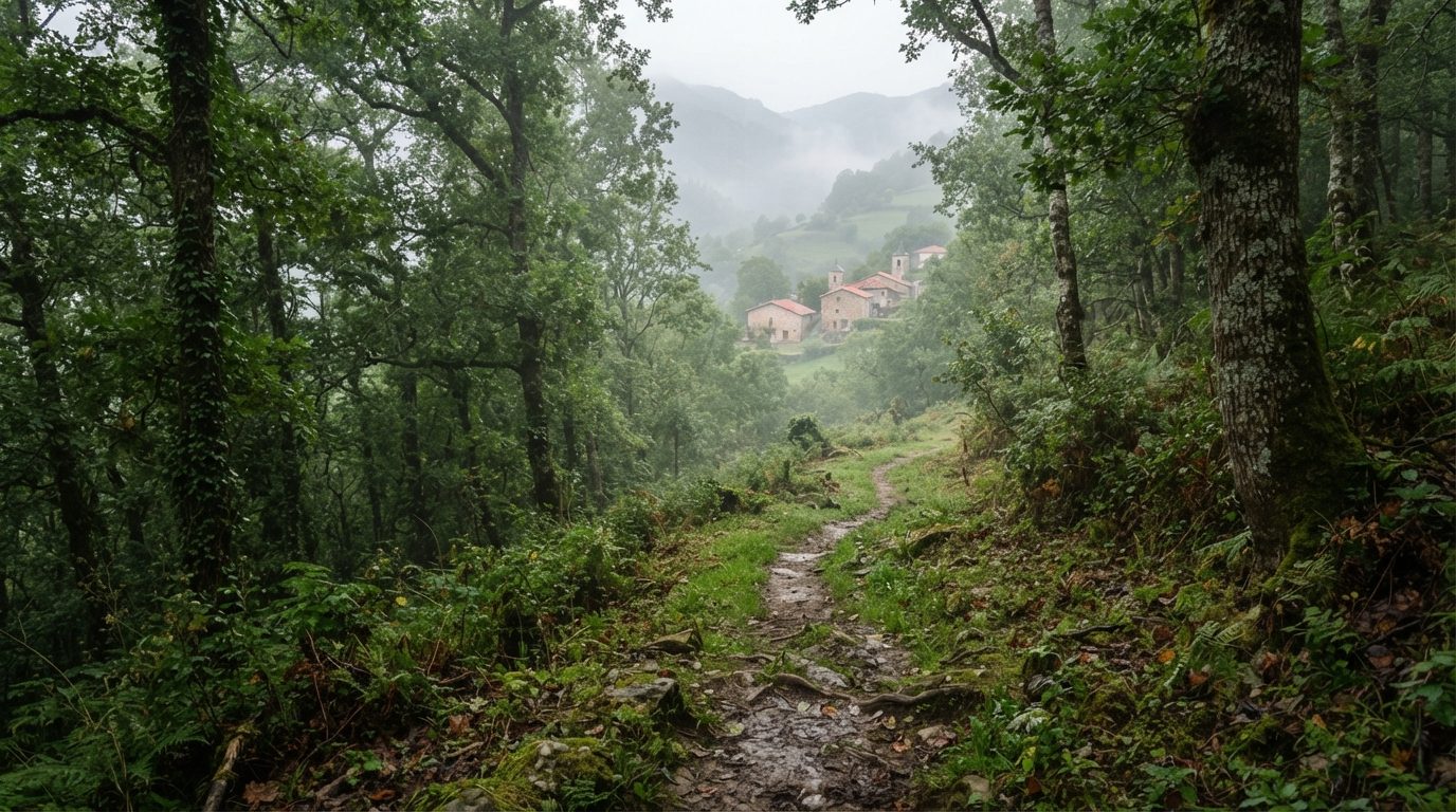
The district of the Oscos and the Eo valley, at the far western end of Asturias, keeps six moderate-difficulty trails through oak and chestnut woodland and villages where traditional forging is still practised.
It is part of the Río Eo, Oscos e Terras de Burón Biosphere Reserve, shared with Galicia.
Santa Eulalia de Oscos 5 km 5 km · Moderate · Santa Eulalia de Oscos. Oscos–Eo.
Read more → San Tirso de Abres 6.6 km 6.6 km · Easy · San Tirso de Abres. Oscos–Eo.
Read more → San Martín de Oscos 6.9 km 6.9 km · Moderate · San Martín de Oscos. Oscos–Eo.
Read more → Vegadeo 10.9 km 10.9 km · Easy · Vegadeo. Oscos–Eo.
Read more → Taramundi 12.7 km 12.7 km · Moderate · Taramundi. Oscos–Eo.
Read more → Villanueva de Oscos 14 km 14 km · Hard · Villanueva de Oscos. Oscos–Eo.
Read more →FAQs
Answers to the most common questions before you head out.
The Asturias Greenways Catalogue includes 6 trails in this category, with 56.1 km across 6 trails.
Use the difficulty and distance filters in the main trails list, or open each entry: they all include distance, gradient, estimated time and how to get there.
Ten different ways to explore Asturias on foot or by bike, all with official data from the Principality catalogue.