Municipality
Greenways in Oviedo
7 official greenways catalogued in the municipality of Oviedo, with distance, difficulty and how to get there.
Municipality
7 official greenways catalogued in the municipality of Oviedo, with distance, difficulty and how to get there.
The municipality of Oviedo brings together 7 greenways from the Principality of Asturias’ official catalogue, with an approximate total of 59.2 km split across the Senda del Oso, Riverside, Peri-Urban categories.
You can filter by difficulty, distance or whether you are looking for a cycle-friendly trail directly in the list below; each entry includes official data on distance, gradient and how to get there.
Riverside 2.7 km 2.7 km · Easy · Oviedo. Riverside.
Read more → Riverside 4.7 km 4.7 km · Easy · Oviedo. Riverside.
Read more →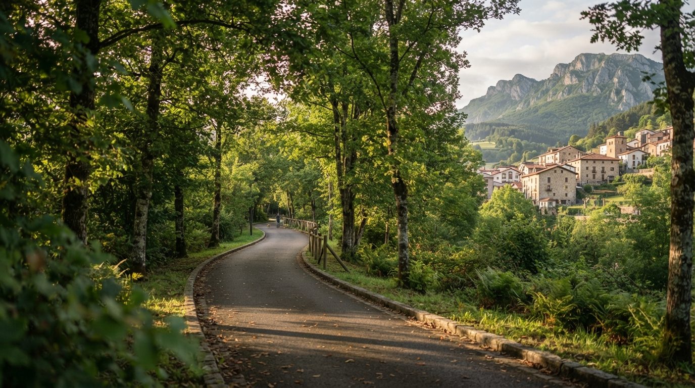 Peri-Urban 5.8 km
 5.8 km · Moderate · Oviedo. Peri-Urban.
Read more →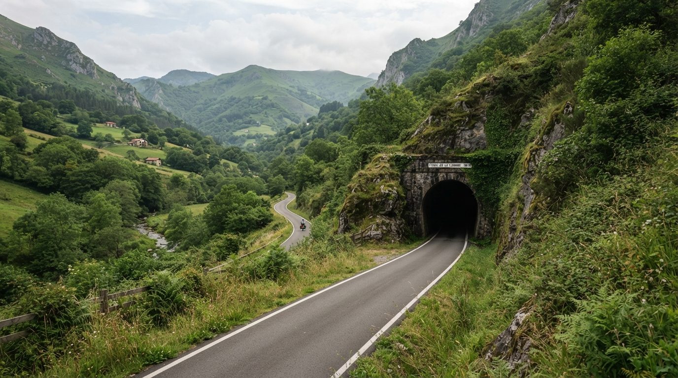 Senda del Oso 8.4 km
 8.4 km · Easy · Oviedo. Senda del Oso.
Read more → Riverside 9.3 km 9.3 km · Easy · Oviedo. Riverside.
Read more → Peri-Urban 12.4 km 12.4 km · Moderate · Oviedo. Peri-Urban.
Read more → Senda del Oso 15.9 km 15.9 km · Easy · Oviedo. Senda del Oso.
Read more →FAQs
Answers to the most common questions before you head out.
The official catalogue lists 7 trails in the municipality of Oviedo.
Yes, they are all marked on the general map of Asturias’ greenways, with their start and end points.
44 Asturian municipalities have at least one catalogued greenway. Find yours by area.