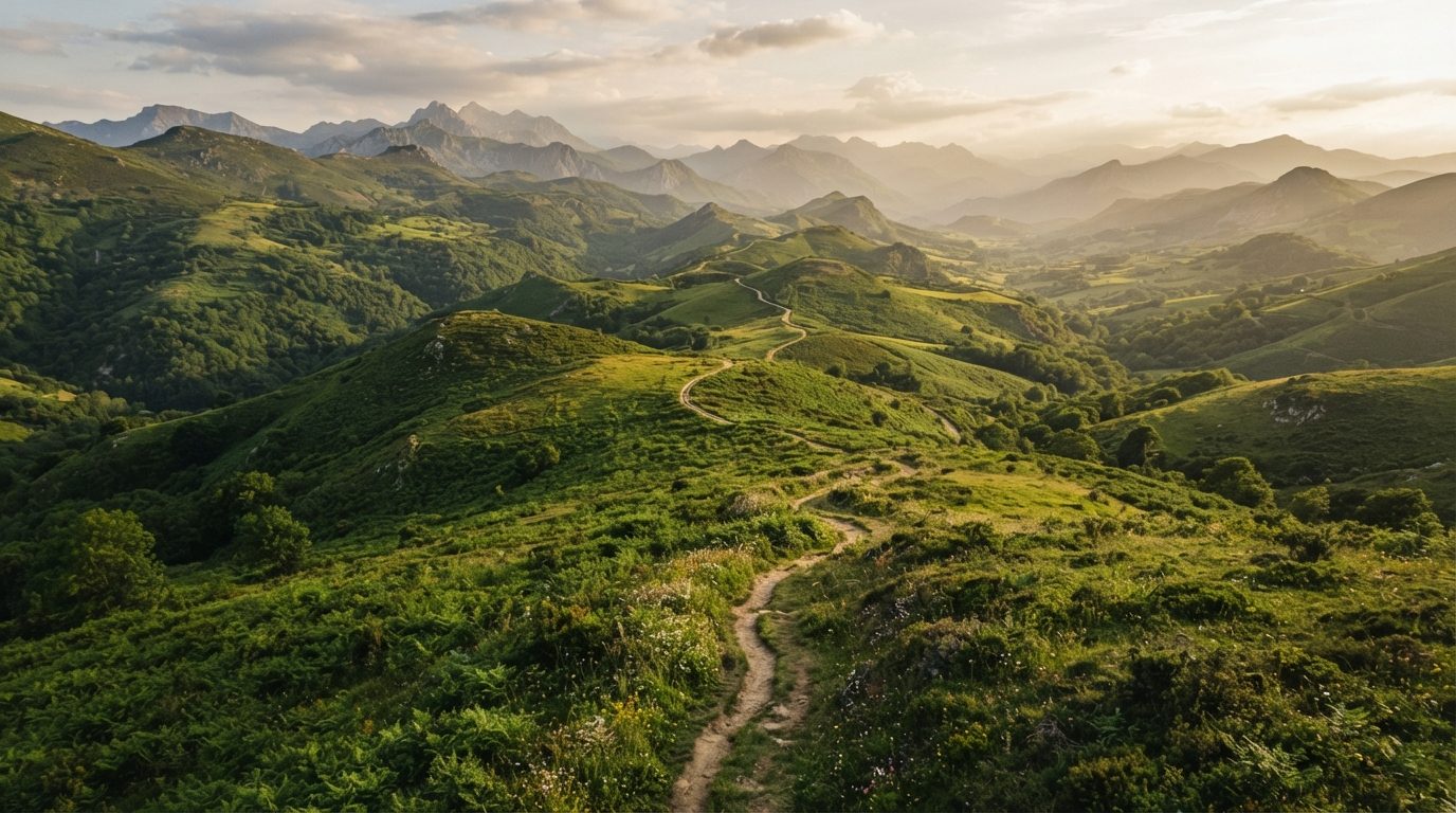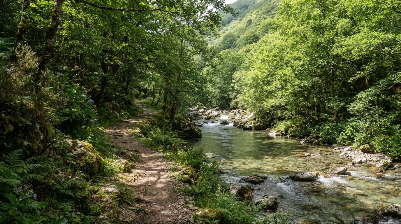
In Siero, the Pola de Siero – Lieres trail forms part of the Principality of Asturias’ official greenway network. It is 6.9 km long. It can be walked or ridden by mountain bike, on treated surfaces.
The route goes from Pola de Siero - Puente de Romanón - Praderías de Sta. Eulalia de Vigil - Apeadero de FEVE en Los Corros. It is an easy trail: good surface, gentle slopes and no significant technical sections.
It is promoted by State, within the Asturias Greenways Catalogue (2011). As across the whole network, it is worth checking the current state of the signage before setting off: more than a decade has passed since the official cataloguing.
How to get there
The trail runs through Siero, between Pola de Siero - Puente de Romanón - Praderías de Sta. Eulalia de Vigil - Apeadero de FEVE en Los Corros.
Start coordinates: 43° 23’ 21,70” N 5° 39’ 57,52” O · End coordinates: 43° 22’ 33,88” N 5° 36’ 3,00” O. You can paste them straight into Google Maps or your GPS.
Start and end points as per the official catalogue.We do not draw the full route: it is not verified yet.
What to bring
- Comfortable closed shoes; if the difficulty is moderate or high, trekking footwear is better.
- Plenty of water: most greenways have no fountains along the whole route.
- Sun or rain protection depending on the season — Asturian weather changes fast.
- If you are cycling, check your brakes: some greenway sections have short slopes.